
Saibai
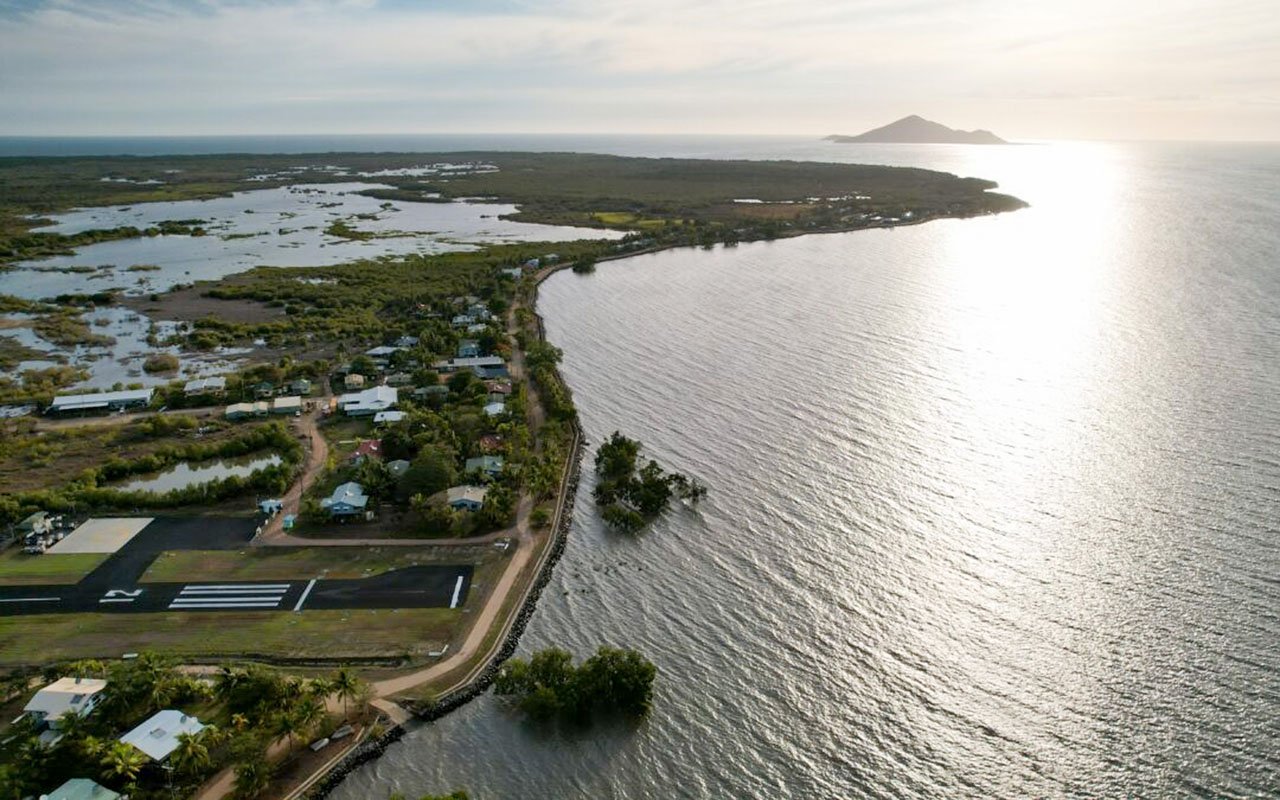
Saibai is a large, low-lying island only 4 km from the Papua New Guinea mainland.
Close north is uninhabited Kauamag Island, separated from Saibai by a channel that is 7km long, between 180 and 650 meters wide and almost blocked at the east end.
The Island is flat and predominantly a mangrove island, with the highest point being 1.7m and prone to flooding during the wet season, which coincides with king tides.
A bitumen airstrip allows year-round access. The Island is about 20km by 15km, but only a small proportion is inhabited.
Regular trading occurs between Saibai and Papuan villages. The locals can cross the border provided they have a permit to do so. This is something visitors to Saibai can’t do.
Strict quarantine regulations are in force on Sabai.
Saibai Islanders have close family, clan, and religious ties with neighbouring Papuans.
Location Details
Population
340 residents
Language
The language of Saibai is the Kalaw Kawaw Ya (KKY).
Transport
Access via fixed wing aircraft – commercial and charter operators.
Goods are transported by sea and air freight.
Council office opening hours
Monday to Friday: 9am – 4pm
Accommodation
| Name | Details | Contact |
|---|---|---|
| Council Accommodation | 2 x 3 bedroom houses |
Contact Details
Corner of Main Road and School Road, Saibai, QLD 4875 Australia