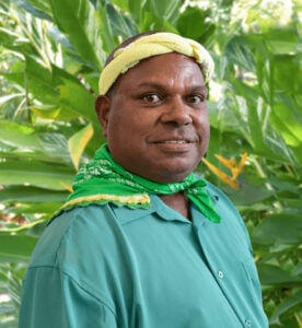
Boigu
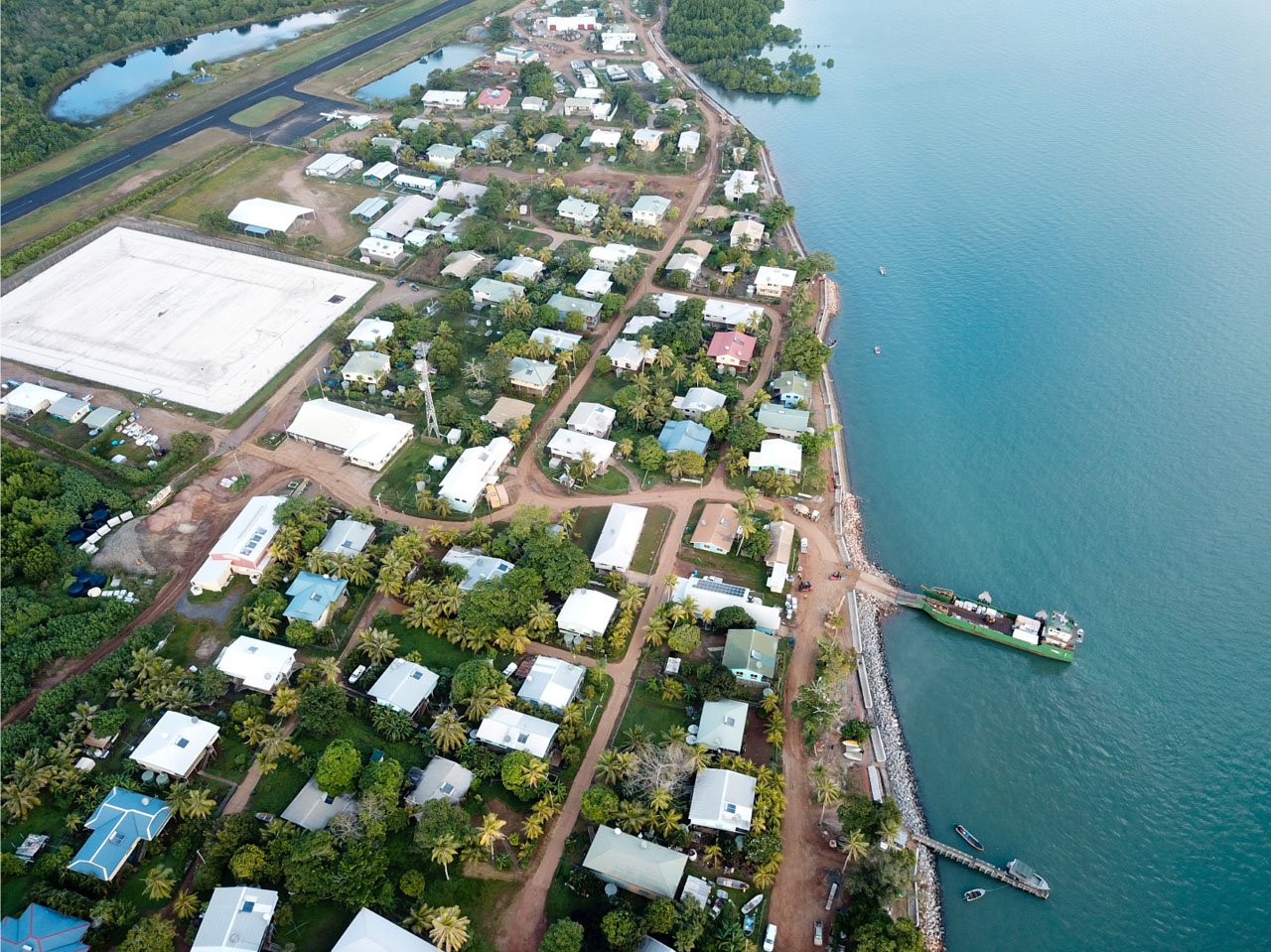
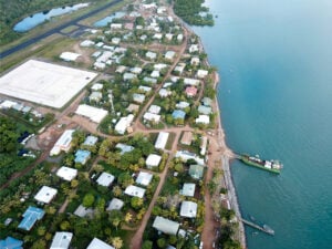
Boigu Island is the most northerly inhabited island of Queensland and Australia.
It is part of the top-western group of the Torres Strait Islands. The mainland of Papua New Guinea is only 6km away from Boigu. Boigu is low-lying and has an area of 89.6km² and is approximately 18km long.
It was formed by the accumulation of alluvial sediments deposited by the discharge of nearby New Guinean rivers into the Strait.
These sediments built up over time on an old coral platform which rises from the shallow continental shelf, eventually creating the island.
Most of the island is subject to extensive periodic flooding, and as a result, the community township is built on the highest ground.
Two nearby smaller islands (not permanently settled) are considered as a part of Boigu Island, more accurately known as the Talbot Islands. These are Aubisi Island and Moimi Island.
The interior of the island is sparsely vegetated, and mainly swampland. The coast is fringed by mangroves, which act to protect against the island’s sand and mud from sea erosion.
The waters surrounding the island are an important habitat for dugongs.
Location Details
Population
200 residents.
Language
The language spoken on Boigu Island is the Kalau Kawau Ya dialect.
Transport
People can travel to and from the community by fixed wing aircraft (commercial and charter operators), helicopter (charter operators), or by boat (private).
Goods are transported by sea and air freight.
Council office opening hours
Monday to Friday: 9am – 4pm
Council facilities
- Community centre
- Marine infrastructure
- Sports oval
- Council office
- Airport
Accommodation
| Name | Details | Contact |
|---|---|---|
| Council Accommodation | Motel – 6 x rooms |
|
| Council Accommodation | Highset Guesthouse – 3 x rooms |
|
| Council Accommodation | Lowset Guesthouse – 4 x rooms |
|
| Malu Kiwai Ngurpailag | 1 x Flat |
Contact Details
Chamber Street, Boigu (Talbot Island), QLD 4875 Australia